Geospatial Monitoring & Mapping Platform
Description:
A cloud-based GIS platform that digitally maps and geofences sensitive ecosystems (e.g., fish breeding zones, agricultural landscapes). This solves the lack of spatial data for enforcement, habitat protection, and natural resource management.
Target Customers:
Fishers, BMUs, county and national regulators, and environmental partners.
Digital Asset Tracking & Compliance Tools
Description:
Digital tracking of fishing gear, boats, engines, and other field assets using mobile/web dashboards and low-cost trackers. This product provides a solution to asset insecurity, theft, non-compliance, and unmonitored fishing activity.
Target Customers:
Fishers, cooperatives, buyers, regulators.
Analytics & Decision Support Dashboards
Description:
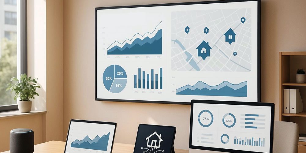
These are premium dashboards that aggregate operational, spatial, and compliance data with visual insights. The product solves the lack of real-time analytics for performance, enforcement, and policy decisions.
Target Customers:
Government agencies, aggregators, insurers, and development partners.